
Ultraääni skannaus
Ultrasonic scanning is a non-destructive testing method that uses high-frequency sound waves to inspect and map the internal condition of materials and structures. By sending sound waves into concrete, steel, asphalt, or rock, and analyzing how those waves reflect back, it becomes possible to detect hidden features, weaknesses, and changes over time—without causing any damage.
Ota yhteyttä


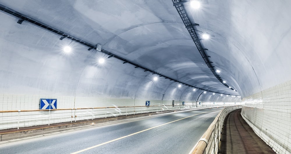
Mobiilikartoitus ja geofysiikka
Autoon asennetuilla laserkeilaimilla voimme kerätä miljoonia pisteitä sekunnissa. Tätä erittäin yksityiskohtaista pistepilveä käytetään 3D-vektorimallien luomiseen, ja sen pohjalta voidaan tuottaa TIN-malli kehittyneitä sovelluksia varten. Samanaikaisesti skannauksen kanssa voidaan ottaa kuvia ja videoita. Kuvat ovat 360 asteen katunäkymäkuvia, joita voidaan tarkastella ja käyttää erillisessä Mapspace. Voimme myös kerätä tietoa tieolosuhteista ja kartoittaa kunnallistekniikkaa, pohjavettä ja kallioperää maatutkalla. Tutustu muihin mobiilikartoitus- ja geofysikaalisiin palveluihimme alla.


